Here’s a comprehensive summit guide for Alam Kuh’s Alamchal Route (Siah Sang Route)! Located in Mazandaran Province, Alam Kuh (4848m) is Iran’s second highest summit. The northern glacier routes where Alam’s big wall is located are the mountain’s completely technical rock-climbing routes. Yet, the summit can also be reached through several trekking routes. The most common of these trekking routes are Hesarchal Route and Alamchal Route. To have an epic ascent, join me on this post!
Contents
- 1 The Camps on Alam Kuh
- 2 Siah Sang Route Ascending Guidelines
- 3 Best Season for Ascending Siah Sang
- 4 Where you can get water on Siah Sang Route
- 5 Cell-Phone Signal Reception on Siah Sang Route
- 6 Places Suitable for Camping and Staying Overnight
- 7 Elevations on the Itinerary
- 8 Like to go on an Adventure on Alam Kuh?
The Camps on Alam Kuh
Alam Kuh includes two mountaineering camps in Rudbarak: Rudbarak Camp and Vandarbon Camp. You can call the camp for reservation and getting information before you set off for the region. The staff will also make the necessary arrangements for renting a pickup car, a 4×4, or a mule.
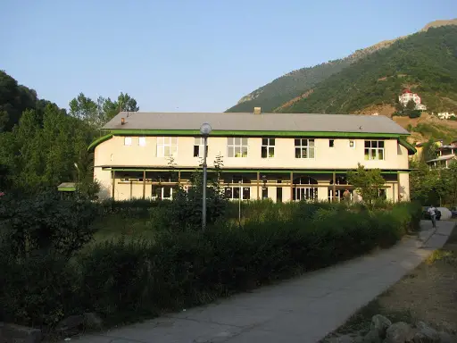
- Rudbarak Camp: This camp is located in Kelardasht, Rudbarak region, on the way to Alam Kuh. It is 7km from Kelardasht City and is 1550 m above sea level. As one of Iran’s oldest camps, it is simply beautiful, clean and equipped, and offers 6-bed rooms. It has facilities like urban electricity, kitchen equipped with stove and dishware, bathroom, WC, garden, etc.
Phone no.: (+98)1152642626
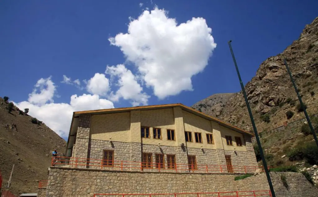
- Vandarbon Camp : 10 km away from Rudbarak Camp and 2000 m above sea level, lies Vandarbon Camp. The 10 kilometers between the two camps is now a bumpy dirt road which takes about 45 minutes by car. Well built in 2011, the camp has nice facilities like: urban electricity, central heating system, beds, blankets, kitchen with stove and dishware, WC, bathroom, etc.
Phone no.: (+98)1152627244
Siah Sang Route Ascending Guidelines
Ascend to Sarchal Shelter (Day 1)
-
Kelardasht to Vandarbon
Get a ride from Kelardasht to Vandarbon Camp. There, leave an ID card, register your name (or your team’s name) and your destination, and set off for the climb.
-
Vandarbon to Midway
Take the dirt road beside the camp, on the right side of the river. In half an hour, you’ll reach the end of the road. Pass the bridge, and get to Bareer Gusfandsara (Shepherd House) on the left side of the river. Continue on the left side until you reach the crossing point of the 2 rivers. After the bridge, the path branches into 2 or more trails. You should follow the one that leads up and left.
-
Midway to Sarchal Shelter
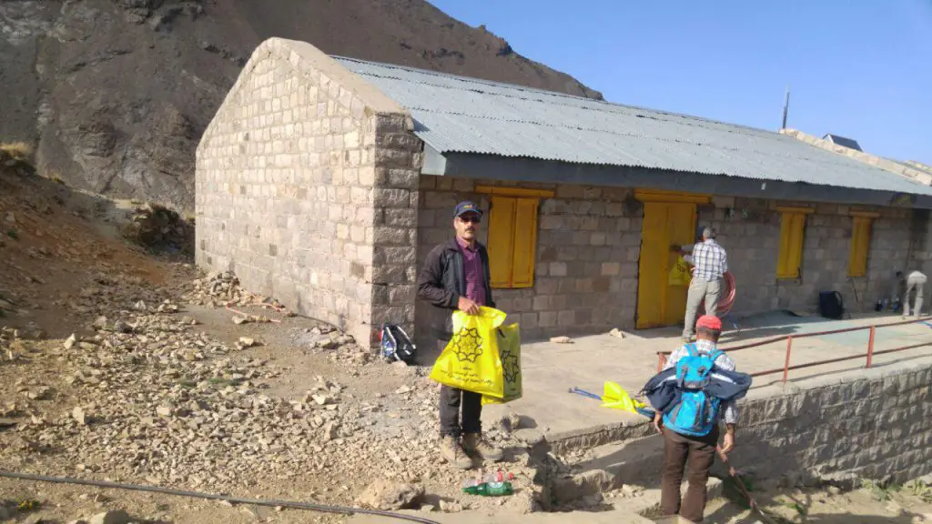
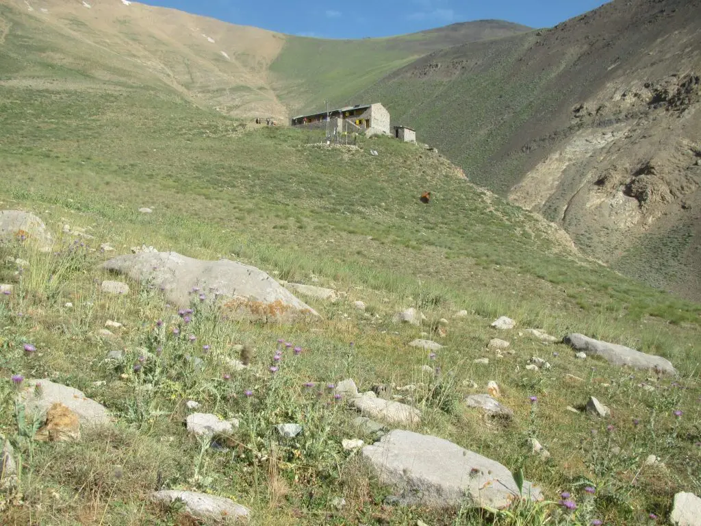
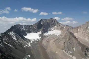
Follow the main trail until you can see Siah Kaman Peak (a black pyramid-shaped mountain) far at the end of the valley. The main trail will lead you close to it. On top of the last height, Sarchal Shelter will be visible. You’ll need 15 more minutes to reach the Shelter from there. For a team with an average pace, the climb from Vandarbon Camp to Sarchal Shelter (3700m) will take about 5 to 6 hours.
Ascend to the Summit (Day 2)
-
Shelter to Siah Sang
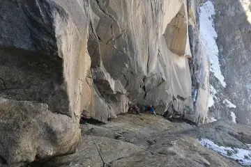
Leave your unnecessary stuff at the shelter and depart early in the morning. From Sarchal Shelter, follow the southwestern (up and left) trail. In about 15 minutes, you’ll get to a region covered with stones. Follow the trail marked with the line of stones until you reach a valley that ends in Alamchal. From the shelter to Alamchal, it takes about 2 hours. Alamchal is located under Alam Kuh’s northern big wall and is covered with snow and ice all year round.
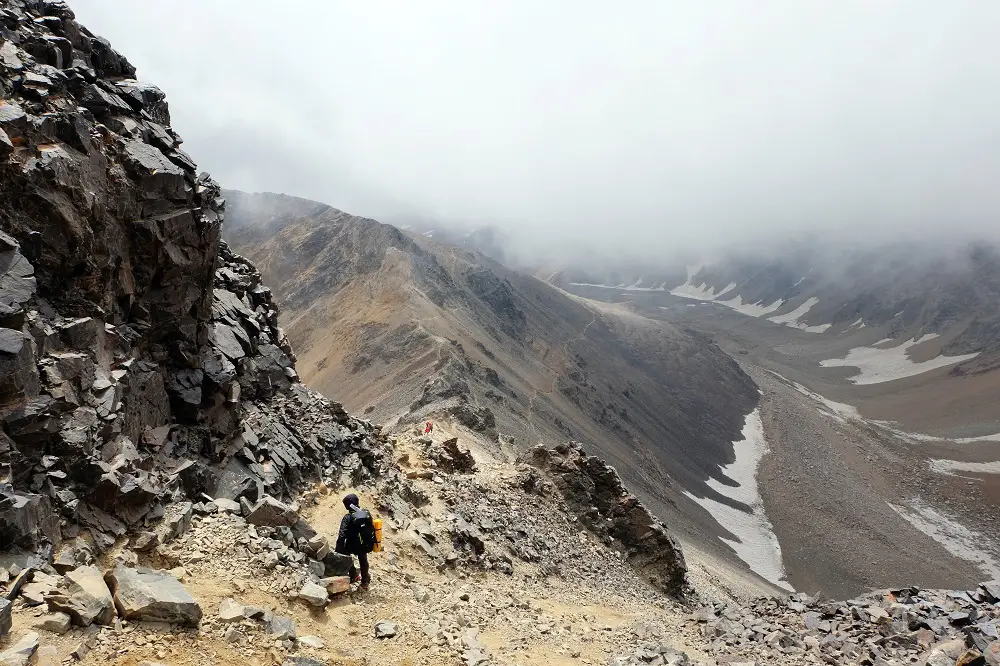
Near the big wall, Alamchal is about 4150m above sea level. There, the summit will be seen on the right side, over the big wall. From Alamchal (4100m) make your way to the left where there is an area covered with stones. Follow the zigzag trail until you reach Siah Sang Mountain Pass (4430m). The climb from the shelter to Siah Sang Mountain Pass takes about 2.30 to 3 hours. From this point, you should follow Siah Sang trail (requires scrambling). At this point, if you have a weak or inexperienced climber in the team, he/she had better get back to the shelter.
-
Siah Sang to Mountain Hut
Here’s where the crucial part, Siah Sang route, starts. On the mountain pass, turn right and step on Siah Sang route. In the beginning (about 30 minutes), the trail is marked with stones. Then, what you should do is find the tow rope and follow it for about an hour until you get near the peak. From Siah Sang Peak (4620m), make your way down to the orange mountain hut of Siah Sang (4560m). The climb from Siah Sang mountain pass to the mountain hut takes about 2 hours.
-
Mountain Hut to Hesarchal
From the hut, a faded trail leads up to a minor peak. The trail you should take leads a little back down and then ascends. In about an hour, you’ll reach the main trail on Hesarchal path. This part of the path (from the hut to Hesarchal trail) is a steep stony slope that is almost without a distinguishable trail but is partly marked with stones.
-
Hesarchal to Summit
When you reach Hesarchal trail, turn right and head for the summit. You’ll have about 30 minutes to the summit on a smooth trail. For a team with a normal pace, it takes about 6 to 7 hours from Sarchal Shelter to the summit.
Descent to Sarchal Hut (Day 2)
The descent time will be about two third of the time of the ascent. It takes about 5 hours from the summit to Sarchal, and about 3 and a half hours from Sarchal to Vandarbon. If you got time, you’d better spend the night at Sarchal hut and head back down to Vandarbon the next morning.
*Note:
Under special circumstances like adverse weather or fatigue, it would be better to take Hesarchal route back down instead of Siah Sang route. This way, in less that 4 hours, you’ll reach Tang-e Galoo. From there, a 4×4 or a pickup car will take you to Vandarbon Camp. You can make arrangements to take your stuff down to Vandarbon from Sarchal Shelter.
Best Season for Ascending Siah Sang
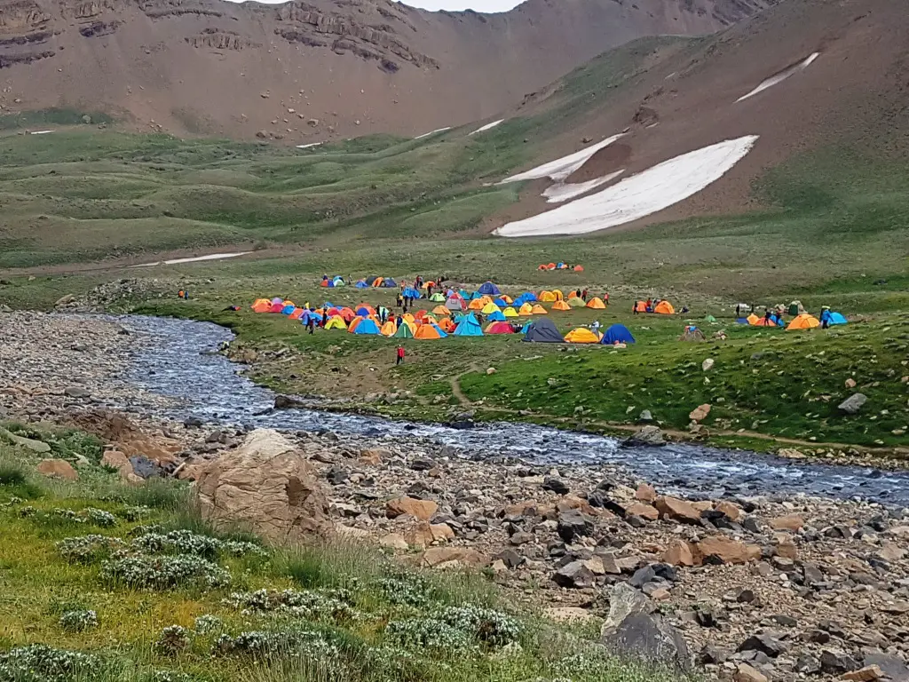
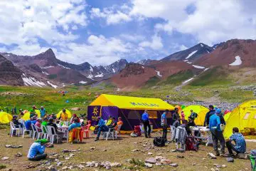
The best season for summiting Alam Kuh from any face is summer, especially late-July to late-August. Late in July, when the snow has melted and Hesarchal is at its highest beauty, a large number of mountaineers from all around Iran set out on an adventure on Alam Kuh. In summer, Kailas polar and Alpine tents are also set up to present a nice eco-camp that serves food, drinks and snacks.
Where you can get water on Siah Sang Route
- Rudbarak and Vandarbon Camps
- Keshti Sang (2 hours from the camp)
- The springs in front of Siah Kaman (4.5 hours from the camp)
- The spring at Sarchal Shelter (500m to the plain)
Cell-Phone Signal Reception on Siah Sang Route
- Vandarbon Camp and Rudbarak Camp
- Parts of the route up to Sarchal
- Sarchal Shelter
- The summit (weak)
- Tang-e Galoo and Hesarchal don’t have reception
Places Suitable for Camping and Staying Overnight
- Rudbarak Camp (1550m)
- Vandarbon Camp (2200m)
- Sarchal Shelter (3700m)
- Alamchal (4150m)
Elevations on the Itinerary
Kelardasht City: 1200m
Rudbarak Camp: 1550m
Vandarbon Camp: 2200m
Sarchal Shelter: 3700m
Siah Sang Hut: 4560m
Alamchal: 4150m
Siah Sang Mountain Pass: 4430m
Siah Sang Peak: 4620m
Alam Kuh Summit: 4850m
Like to go on an Adventure on Alam Kuh?
We don’t have a tour on Siah Sang Route. But you can join our 8-day Mount Alam- Hesarchal Route tour or our 9-day Alam and Damavand tour.




Comments