If you’re going on a trekking adventure on Mount Sabalan, this comprehensive summit guide is your first necessity. Mount Sabalan is Iran’s third highest mountain after Mount Damavand and Alam Kuh. Attractions like a beautiful crater lake and hot springs have made Sabalan a nice mountaineering destination. The climb on this mountain starts easy, becomes challenging midway and becomes easy again near the summit. Read on to find out more…
Contents
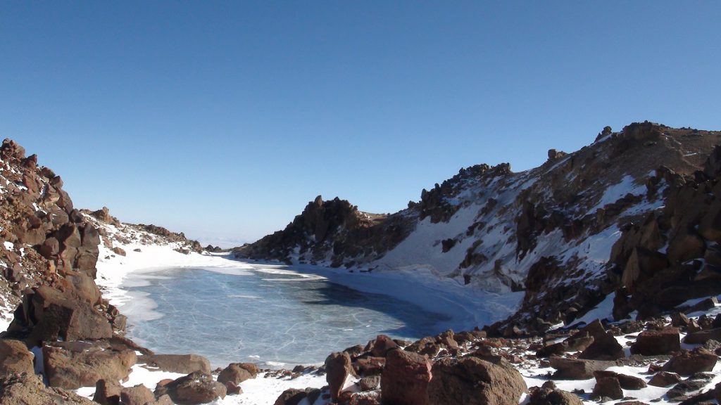
Mount Sabalan’s Highest Peak
From Sabalan’s 5 peaks, Sultan Peak is the highest. This Peak is 4811 meters above sea level and has two common summit routes:
- The main shelter route (or the northeastern route)
- The hut route (or the western route)
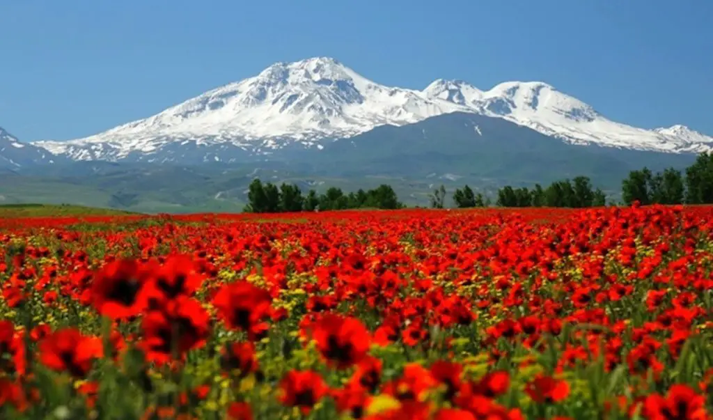
Why the Northern Route
The northeastern route is the most common route and most mountaineers pick this route both for their ascent and their descent. So, for the following reasons, I recommend amateurs, first-timers, and unskilled mountaineers to choose this route for their ascent and descent:
- In different seasons, specially summer, you can find many mountaineers summiting Sabalan from this route. So, you’ll have support and company.
- In summer, you can get a lift on the 4×4 cars that have a regular schedule for taking mountaineers from Shabil Hot Spring to the shelter. But for other routes, you’ll have the hassle of finding a car to give you the ride.
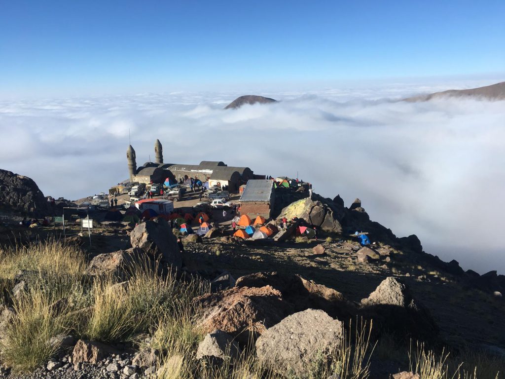
- The main shelter has facilities like rental rooms, supermarket, camping area, safekeeping room, management, etc. The rest of the shelters and huts lack any of such facilities.
- This route is marked with flags up to the peak. The flags show the distance taken, the remaining distance, and the right path for ascent. There are also yellow flags that warn the existence of a cliff or a wrong path.
- Because of the high number of mountaineers taking this route, especially on holidays, the ascend route is very beaten and easily distinguishable. So, taking the wrong path will be almost impossible, except for in foggy weather.
- The other ascent route is the new shelter route (also known as Sang-e Oghab route). The route passes the new shelter (also known as Bani Hashem shelter or the western hut). To summit Mount Sabalan through this route, you’ll have to be well-informed and preferably have a guide beside you. This route is relatively less traveled than the main route and its shelter and hut lack any kind of facility or management.
Mount Sabalan Summit Guide from the Northeastern Shelter
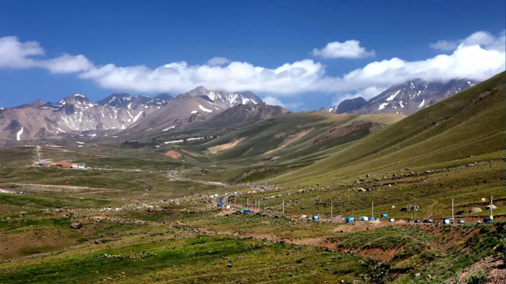
To summit Mount Sabalan through this route, you’ll first have to get yourself to Meshgin Shahr and from there to Lahroud. From Lahroud, take the asphalted Shabil and Ghotor Sooee road until you reach Shabil Aqua Therapy Complex (Lahroud to Shabil: 25 km). If you come with your own car, you can park it in the complex’s parking lot at a very low cost for as long as you want. Just let the parking manager know you’re going for the summit so that he gives you a suitable space.
-
Day 1 (reaching the shelter)
Next to the parking lot of Shabil Aqua Therapy Complex, you can find mountain cars (mostly land rovers) that move mountaineers up to the shelter on a regular basis. The capacity of the cars is 6 persons, but if you pay for 6, you can rent it for yourself or your smaller team. The fares are totally fixed and managed and they only raise a bit each year. Taking personal cars or cars unsuitable for the mountain are not recommended at all because the dirt road is very rough and rugged. But if you’d like to hike the path between Shabil and the shelter, you can start your ascent from the chair lifts and get yourself to the shelter from the distinguished route in about 3 to 4 hours.
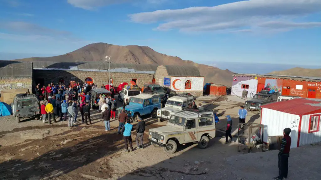
The shelter is at a 3700-meter altitude. You’d better be at the shelter before 4 pm the day before the main ascent. From 4 pm to the morning of the next day, you can let your body have an optimal acclimatization and adapt itself to the altitude and condition of the mountain. After getting to the shelter, if you don’t want to spend the night in the rental rooms, you can set up your camp in the shelter’s camping area. Near the old northeastern camp (20 minutes on foot), you can find a new building where you can spend the night.
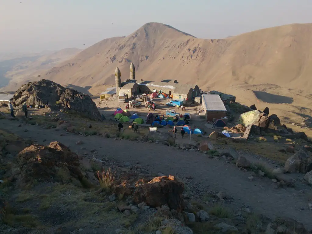
Note: Because of the permanent existence of bears and their cubs around the shelter, I recommend setting your camp up adjacent to the shelter.
-
Day 2 (summit day)
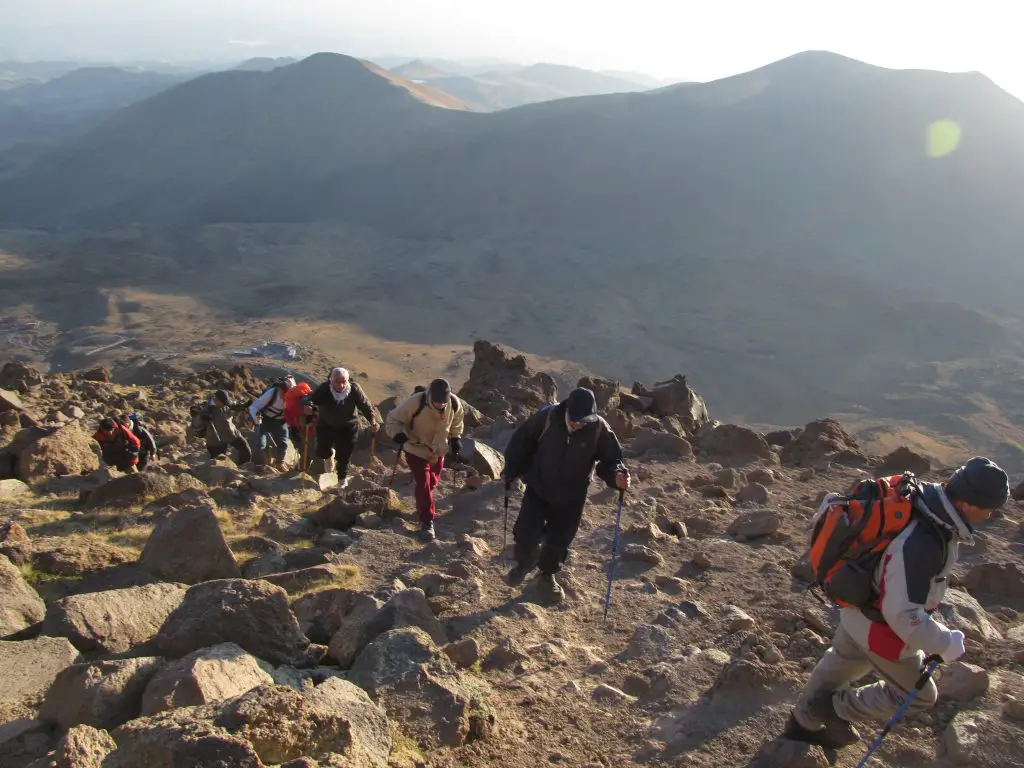
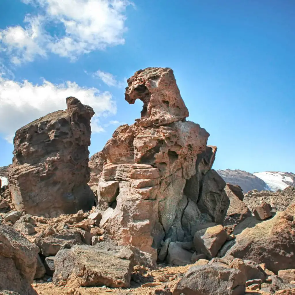
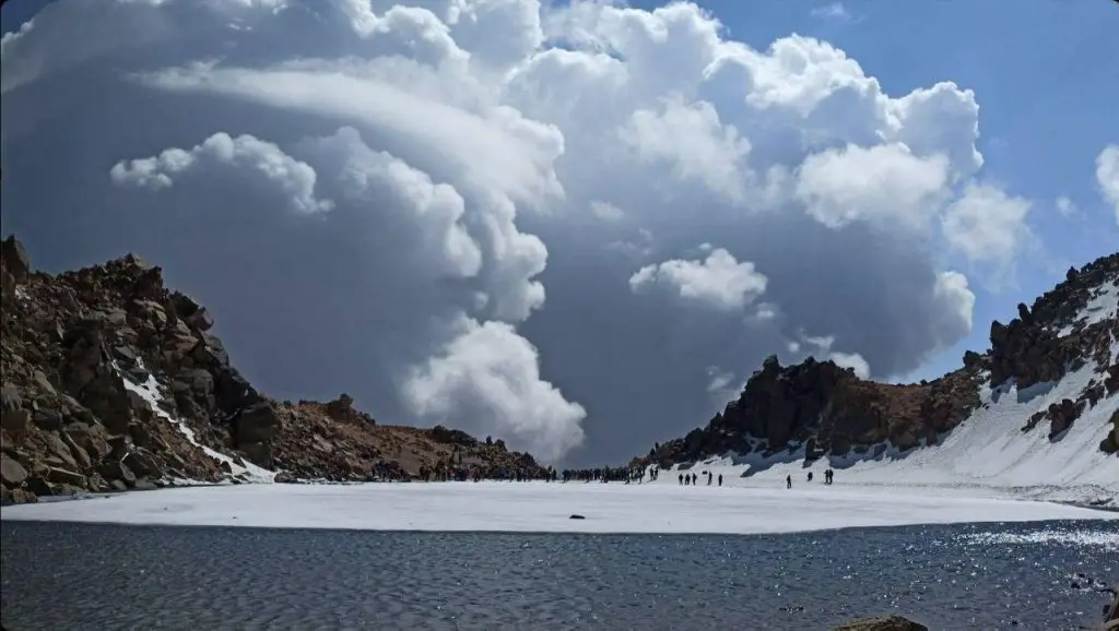
The best time to start the main ascent is at sunrise. Since the sun rises at around 6 in summer, you’d better start before sunrise and take a head torch for the dark. For summiting Sabalan, you’ll be experiencing a 1100-meter change of altitude and a low level of oxygen. Based on how strong and professional you are, you can reach the crater lake on top of Mount Sabalan in about 4 to 5 hours(if no time is wasted). While summitting, pay attention to the flags. They not only show you the correct route, but also tell you how much of the path you’ve taken and how much remains. The flags start with number 49 and end in number 1 beside the crater lake. The first hallmark on the route is Sang-e Parvaneh (literaly meaning the butterfly rock) which is located at a 4000-meter altitude. After this rock, a difficult and steep slope is expecting you.
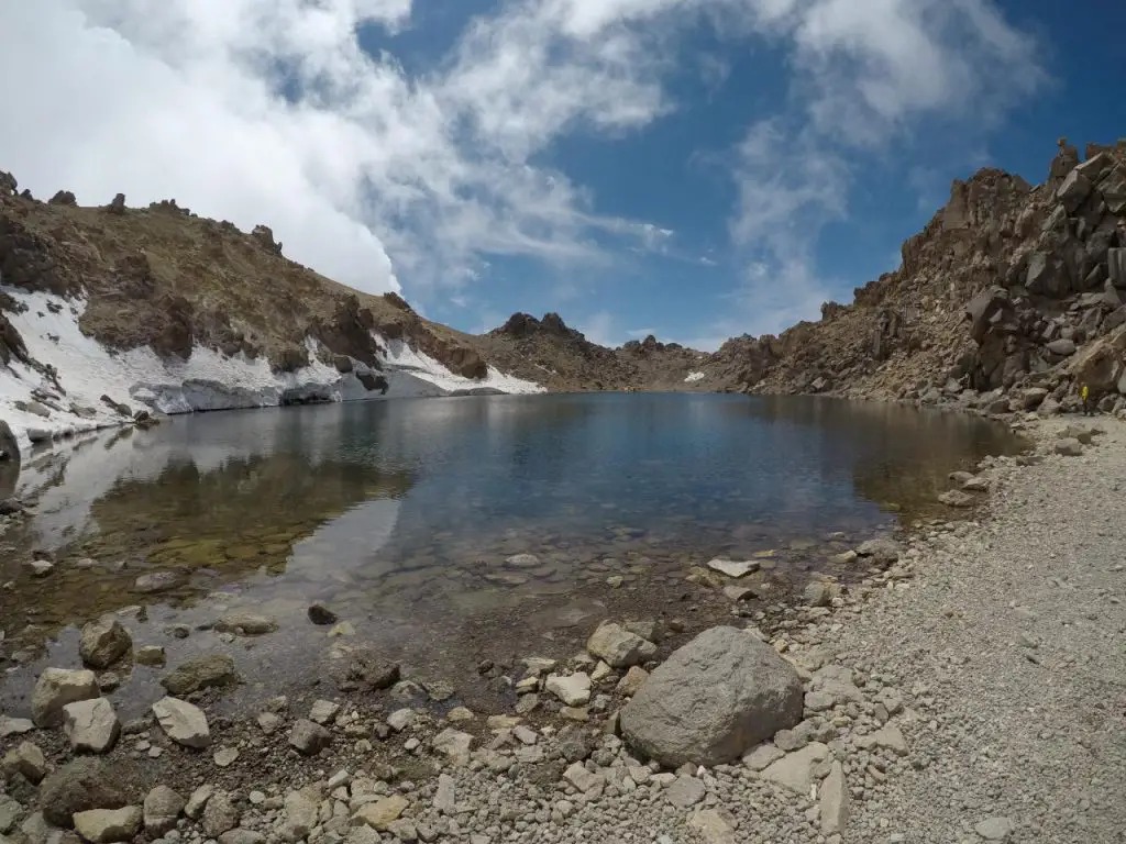
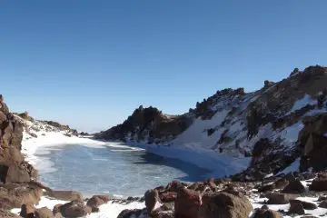
One of the hardest parts is the slope below Sang-e Mehrab (literally meaning Altar Rock). This rock is about 4750 meters above sea level. After passing this part, you’re almost there. Between the rock and the crater lake, there is only a short and easy path. Seeing the crater lake (4760 m) will be so pleasant that you’ll immediately forget about the fatigue.
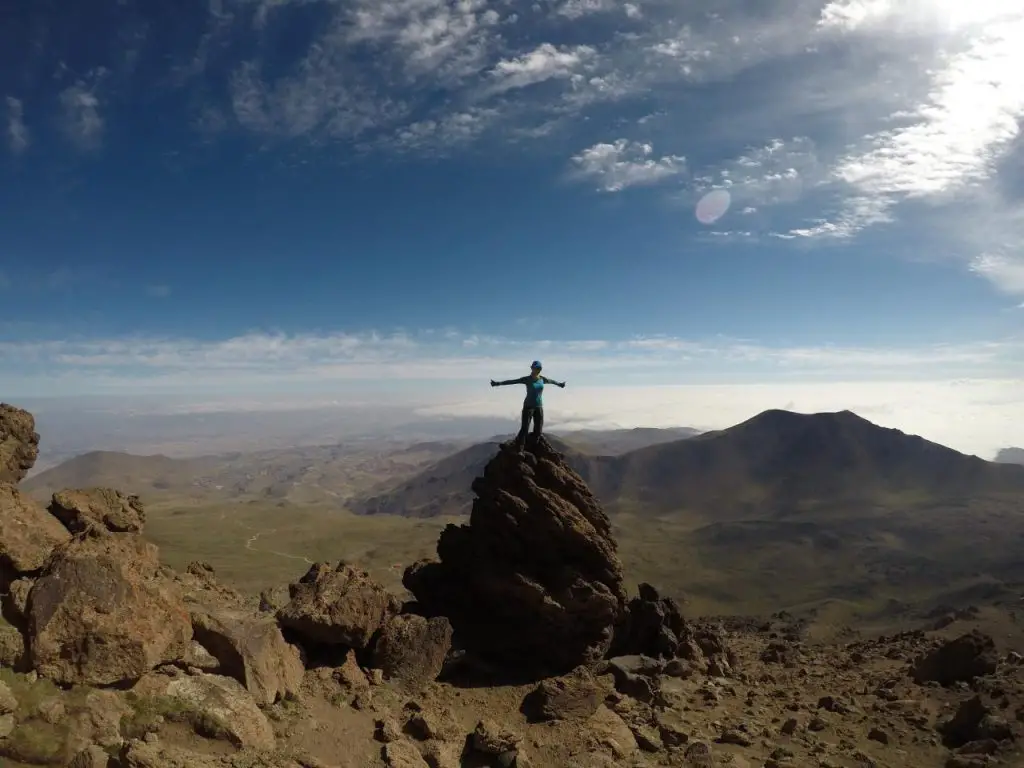
For getting back down to the shelter, follow the flags from number 1 (near the lake) to number 49 (near the shelter). Pay attention to the yellow flags and avoid approaching them. If you don’t have any stops, the descent takes about 2 to 3 hours. After reaching the shelter, you can pack up and get a ride back to Shabil.
Notes:
- If you intend to return to the shelter after the successful ascent, I recommend leaving your extra stuff in your camp so that you have a lighter and easier summitting experience.
- If before reaching the crater lake you become physically burnt out or face any serious problems, you’d better get back. Because your health and safety are the first priorities. You’ll have the chance to attempt for the summit later.
- If you feel unwell beside the lake, don’t stay there for long and make your way back down immediately. Also, avoid overeating or eating heavy and fatty food beside the lake.
Mount Sabalan Summit Guide from the Western Hut
Day 1 (ascent to the shelter)
For summiting Mount Sabalan from the western hut (the new shelter), there are two routes.
- Ghara Gol Lake Route
- Shabil Route
-
Ghara Gol Lake Route
To summit the mountain from Ghara Gol Lake Route, you’ll first have to reach this lake by an off-road car. For getting to the lake from Meshgin Shahr, there are a few ways:
- The main and best way: Meshgin Shahr to Sarbanlar Village, then to Tavous Goli Lake and from there to Ghara Gol Lake.
- Meshgin Shahr to Shabil, then to Houshang Meidani, and from there to Ghara Gol Lake.
- Meshgin Shahr to Moeil Village, then to Tavous Goli Lake, and from there to Ghara Gol Lake.
For professional mountaineers, all of these ways can be taken on foot.
After reaching Ghara Gol Lake, there is a very rough dirt road that leads to the new shelter. I recommend not taking a car along this road. Instead, have a 1-hour walk up to the shelter. The western shelter is a large room that can shelter a lot of mountaineers. It is located at a 3800-meter altitude. After getting to the western shelter, you’ll have to make your way toward the hut beside Sang-e Oghab (literally meaning the eagle rock). To find the hut, if you stand facing the summit, the valley should be on your left side. Move up the valley slowly until you reach the western hut and Sang-e Oghab in 2 to 3 hours.
-
Shabil Route
The western hut is also accessible from Shabil. To get there, you can walk or have a ride up (off-road car) the dirt road of Shabil-shelter up to the camping place of the Khavandi Nomads. From a little upper than their camping place, right on the foot of the mountain, move up to the heights along the right side of the dirt road. Walk along the small river you find there and reach a hill known as Poolak Mahi. On this hill, the trail is beaten and distinguishable. Take the trail up to the heights until you reach the hut. From the nomad’s camping area to the hut, it takes about 3 to 4 hours.
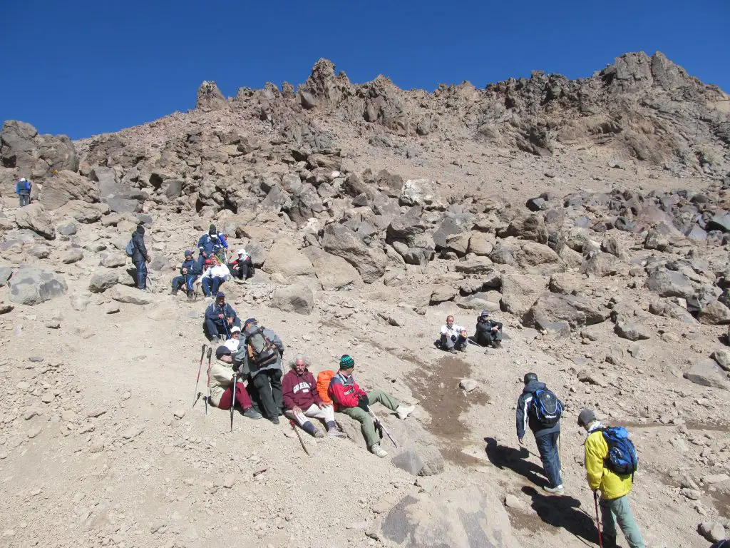
The hut (4000 m) is a small metal room that can shelter at most 10 people. Next to the hut, there is a large rock shaped like an eagle. The eagle is facing the summit. If you want to spend the night and the hut is full, you can set up your camp beside it.
Day 2 (summit day)
You can put off summitting to the morning of the next day (1 or 2 hours before sunrise). The summit and the route leading to it are very distinguishable from the hut. Plus, the majority of the route is beaten. Don’t forget not to rush for the summit. The height, the lower atmospheric pressure, and the lower amount of oxygen can disturb the functioning of your body. So, go as slowly as you can. It takes about 3 to 4 hours to reach the crater lake from the hut.
Note: Despite summitting through the main shelter, I recommend carrying all of your stuff along to the summit. Because this route is not populated and there is a chance that your stuff get stolen.
Like to summit Mount Sabalan’s Sultan Peak?
Then join our 5-day Mount Sabalan tour or our 8-day Sabalan and Damavand tour.




Comments