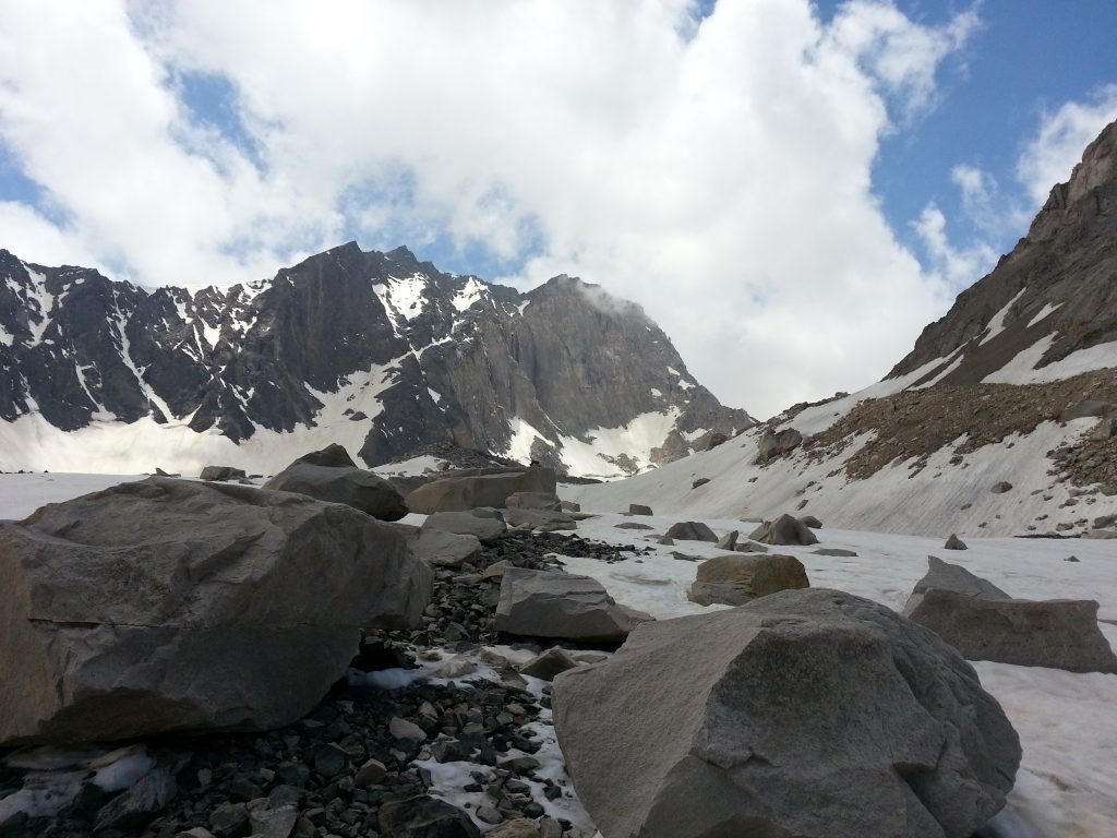
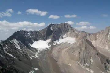
For those who have summitting Alam Kuh (4848m) on their wish list! Do it through one of its most common routes: Hesarchal Route. Need a reliable summit guide? Here it is… Iran’s second highest summit, Alam Kuh, is located in Mazandaran Province. The northern glacier routes where Alam’s big wall is located are the mountain’s completely technical rock-climbing routes. The southern route through Hesarchal plain is very popular among trekkers because of its beauty and the fact that it is less challenging than the mountain’s other routes. To climb Alam Kuh, you’ll have to reach Kelardasht City in Mazandaran Province and from there make your way toward Rudbarak Village.
Contents
The Camps You Can Find on Alam Kuh
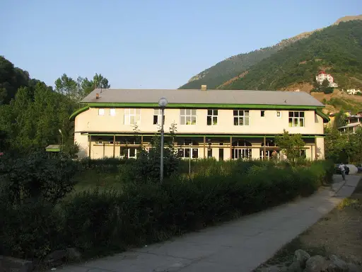
Alam Kuh includes two mountaineering camps in Rudbarak: Rudbarak Camp and Vandarbon Camp. You can call the camp for reservation and getting information before you set off for the region. The staff will also make the necessary arrangements for renting a pickup car, jeep or mule.
- Rudbarak Camp: This camp is located in Kelardasht, Rudbarak region, on the way to Alam Kuh. It is 7km from Kelardasht City and is 1550 m above sea level. As one of Iran’s oldest camps, it is simply beautiful, clean and equipped, and offers 6-bed rooms. It has facilities like urban electricity, kitchen equipped with stove and dishware, bathroom, WC, garden, etc.
Phone no.: (+98)1152642626
- Vandarbon Camp: 10 km away from Rudbarak Camp and 2000 m above sea level, lies Vandarbon Camp. The 10 kilometers between the two camps is now a bumpy dirt road which takes about 45 minutes by car. Well built in 2011, the camp has nice facilities like: urban electricity, central heating system, beds, blankets, kitchen with stove and dishware, WC, bathroom, etc.
Phone no.: (+98)1152627244
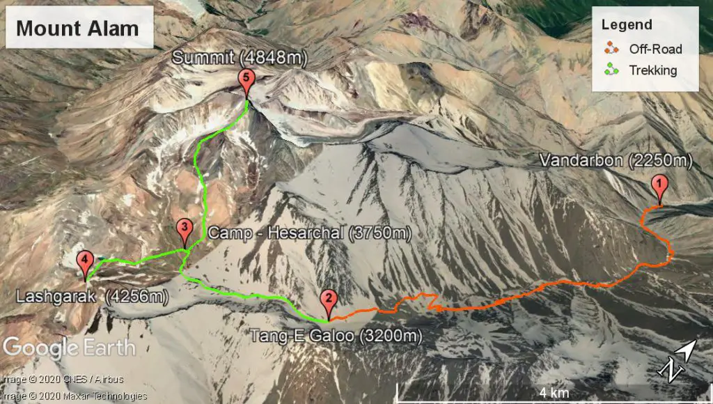
Hesarchal Ascending Guidelines
-
Reaching Tang-e Galoo (the starting point) (Day 1)
Whether you’re in Rudbarak Camp or Vandarbon camp, you’ll need to have made arrangements for a pickup car (for up to 12 people) or a 4´4 (for up to 6 people) to give your group a ride to the starting point of Tang-e Galoo (3200 m). You or the staff at the camps can easily make the arrangements. If you are a small group, you can share a car with another group. The bumpy trip on the dirt road between Rudbarak Camp and the starting point of Tang-e Galoo, will take about an hour and a half. Taking this trip with regular cars is not recommended at all. This road is blocked from mid-fall to late-spring because of heavy snow, rain, flood or avalanche, and other routes should be taken for ascending Alam Kuh.
-
Ascent to Hesarchal Plain (Day 1)
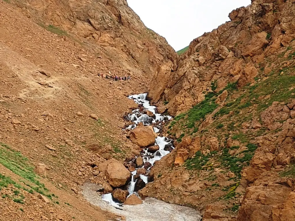
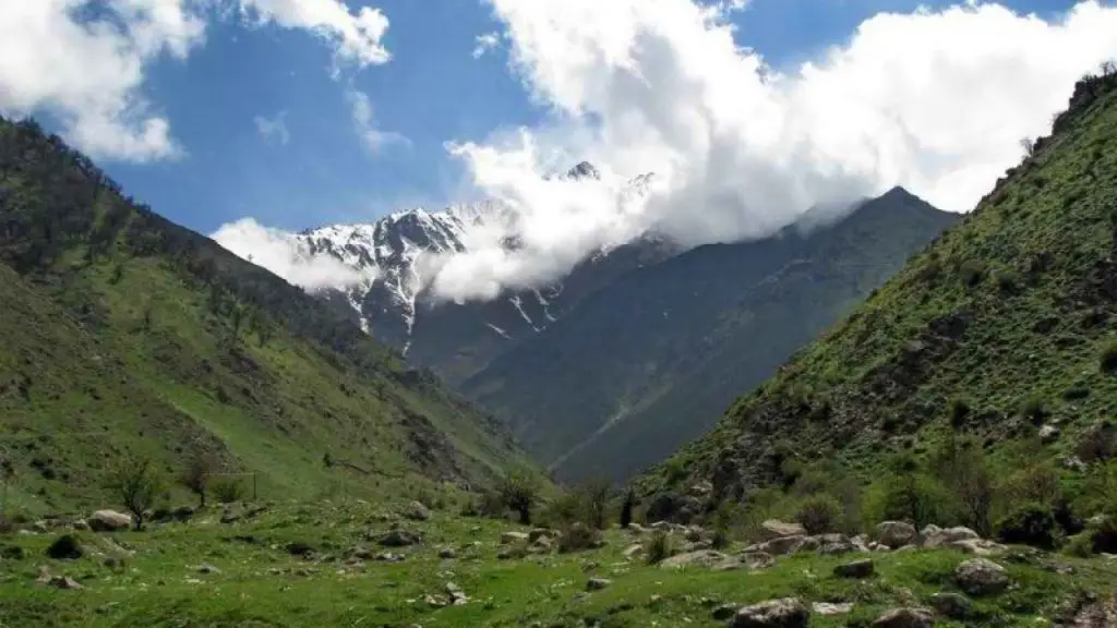
To reach Hesarchal plain, you’ll have to pass Tang-e Galoo Route. The trail on Tang-e Galoo is obviously distinguishable. Fog usually reduces visibility at Tang-e Galoo, so you’ll have to be very careful about where you step while hiking on the trail. In the beginning of Tang-e Galoo trail, the river is on your right side, but after passing a bridge, for the major part of your hike, the river will be on your left. For passing the wooden bridge built over the river, you’ll have to be very careful.
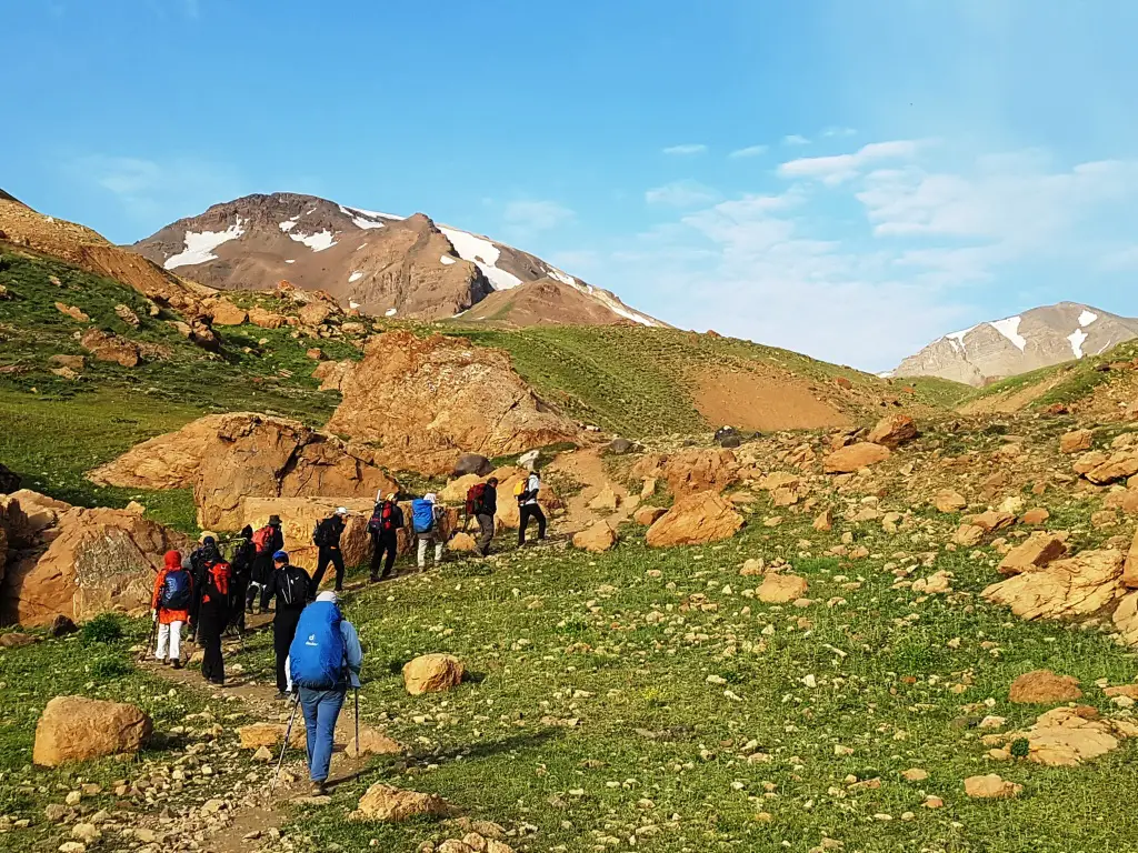
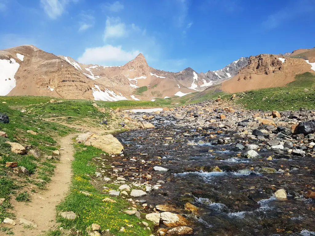
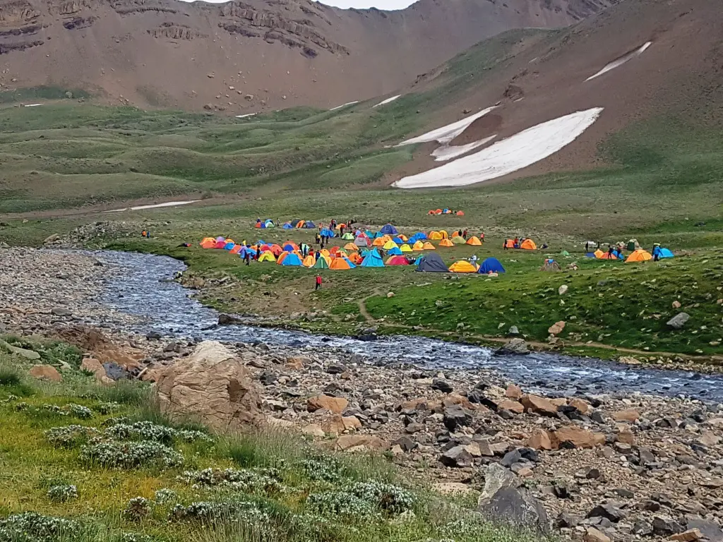
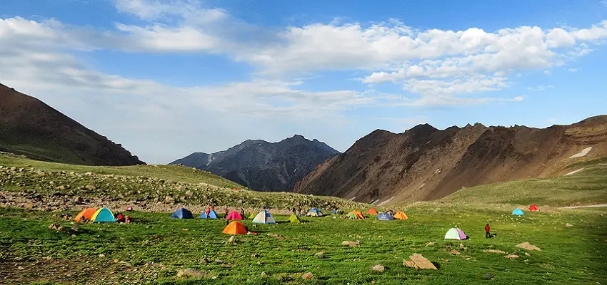
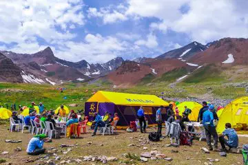
After about 2 hours of trekking, you’ll find yourself in the scenic Hesarchal Plain. This plain (3400 m) is one of Iran’s most beautiful plains. It is surrounded with 4000m mountains. So it is cold, and springs and rivers can be profusely found in it. The summit is not visible down there but the plain features a lovely peak known as Menareh. If you stand facing Menareh Peak, the summit’s trail will be almost on your right side and the peak will be between the Menareh and the trail. Most mountaineering groups plan their trek in a way to stay the night in the plain. There are many nice places for camping and water can be abundantly found. If you leave Rudbarak Camp at 8 a.m., you’ll be in Hesarchal before 3 p.m. and will have enough time for resting, taking pictures and enjoying the beauties of the plain.
-
Ascend to the Summit (Day 2)
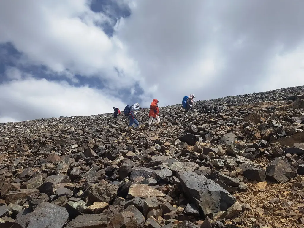
If your group has a normal trekking pace, 7 a.m. is a good time for making your way toward the summit, because till then you’ll have rested enough and you won’t be climbing in the early morning cold of the mountain. A light backpack with some rich food and about 2-3 liters of water will be enough. The trail is detectable but the fog that dominates the region most of the time makes stepping with care a necessity. You’d better take your first trekking experience on the trail with someone familiar with it. With a normal pace, the summit will be reached in 4 to 6 hours.
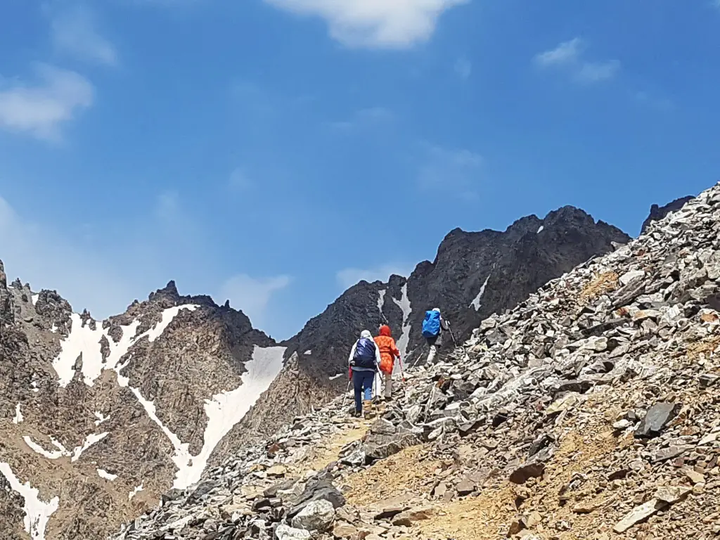
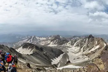
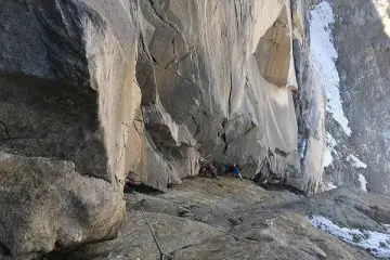
In case there is no fog and the sky is clear, the summit will be visible at the last one or two hours of your way. Atop the summit, Alam Kuh’s lovely glaciers, Siah Kaman Peak and Chalun Peak are fully visible. If the sky is clear, Mount Damavand and Azad Kuh are also visible. The view on the summit is so breathtaking that you’ll want to stay for hours, but the special form of the summit offers nowhere to stand or sit on. While on the summit, remember that Iran’s second highest big wall is below your feet, so don’t get so close to the cliff and beware of the rocks that might slip down from under your feet and hurt rock climbers.
-
Return from the Summit (Day 2)
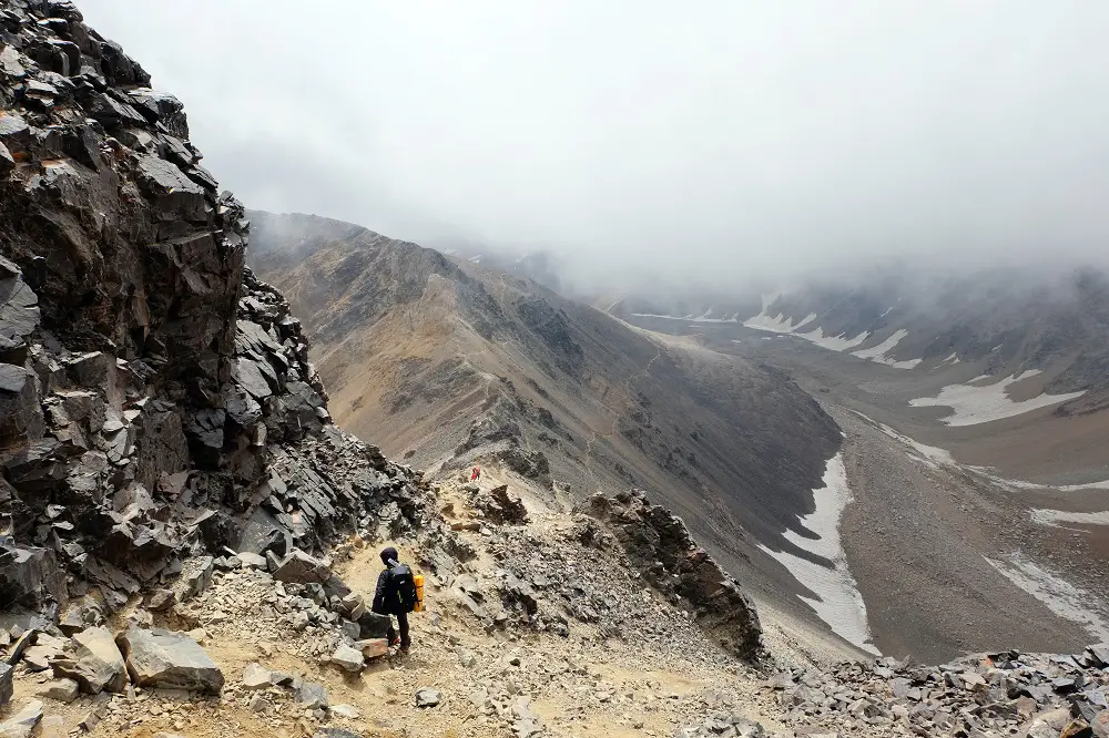
After conquering Alam Kuh, you’ll have to get back to Hesarchal. You can choose either the same route you took for ascending, or the route that’s covered with loose dirt and small stones. If the later route is crowded in summer, it will be an unsafe choice because of the chance of falling rocks. On this route, you should be very careful about the surrounding glaciers too. Because low visibility can deviate you toward them.
Some mountaineers decide to spend one more night in the camp. But some pack up immediately and return to Tang-e Galoo. In either case, you should make arrangements with the driver who took you to the starting point of Tang-e Galoo to give you a ride to the camps. If you intend to get back on the day of the ascent, 5 to 7 p.m. is a good time to fix with the driver. Getting to Rudbarak Camp or Vandarbon Camp ends your memorable mountaineering experience on Alam Kuh.
Where you can get water on Hesarchal
- Rudbarak and Vandarbon Camps
- Tang-e Galoo’s 2 springs (starting point)
- 2 springs on the way between Tang-e Galoo and Hesarchal (not very reliable)
- 2 spring on the 2 sides of Hesarchal Plain’s entrance (500m to the plain)
*Notes
- There is no water between Hesarchal and the summit
- If for any reason the springs were not accessible or didn’t have water, to avoid thirst, you can boil the water that’s abundantly found in Hesarchal plain.
Cell-Phone Signal Reception on Hesarchal
- Vandarbon Camp and Rudbarak Camp
- Marji-kash region (1 hour to the summit)
- The summit (weak)
- Tang-e Galoo and Hesarchal don’t have reception
Best Season for Ascending Hesarchal
The best season for summiting Alam Kuh from any face is summer, especially late-July to late-August. Late in July when the snow has melted and Hesarchal is at its highest beauty, a large number of mountaineers from all around Iran set out on an adventure on Alam Kuh. In summer, Kailas polar and Alpine tents are also set up to present a nice eco-camp that serves food, drinks and snacks.
Elevations on the Itinerary
Kelardasht City: 1200m
Rudbarak Camp: 1550m
Vandarbon Camp: 2200m
Tang-e Galoo: 3200 m
Hesarchal Plain: 3400m
Alam Kuh Summit: 4850m
Like to go on a Trekking Adventure on Mount Alam through Hesarchal?
Then hop on our 8-day Mount Alam- Hesarchal Route tour or our 9-day Alam and Damavand tour.




Comments