Like to trek on 2 different faces of Sialan Mountain (4250m) and enjoy the lovely nature on both sides? Here’s a summit guide for ascending Sialan Mountain from the south and descending it from the north. From the north of Azerbaijan to the east of Semnan, Alborz mountains offer a number of +4000 peaks. Yet ascending each of these peaks is never like ascending the other. One of these beautiful heights is in the north of Qazvin’s Alamut Region and in the south of Tonekabon: Mount Sialan. Sialan’s South-North Route offers the fascinating experience of trekking both on the cold and dry climate of the mountain and the green and temperate climate of Iran’s northern jungles.
Contents
General Information about Sialan’s South-North Route:
Summit Altitude: 4175m
Starting point on Sialan’s South-North Route (2225m): Haniz Village, Alamut, Qazvin
End point on Sialan’s South-North Route (1220m): Esel Mahalleh Village, Dohezar Valley, Tonekabon
Suitable Camping Areas on Sialan’s South-North Route:
- Beside Sialan Hut (3700m), before the mountain pass.
- Beside Yadbood Hut (1850m), in Daryasar Plain
Sialan’s South-North Route Ascending Guidelines
Here’s the best 2-day schedule for summitting Mount Sialan and enjoying the natural attractions around it.
Day 1:
Departure from Haniz
Reaching the Hut
The Hut to the Summit
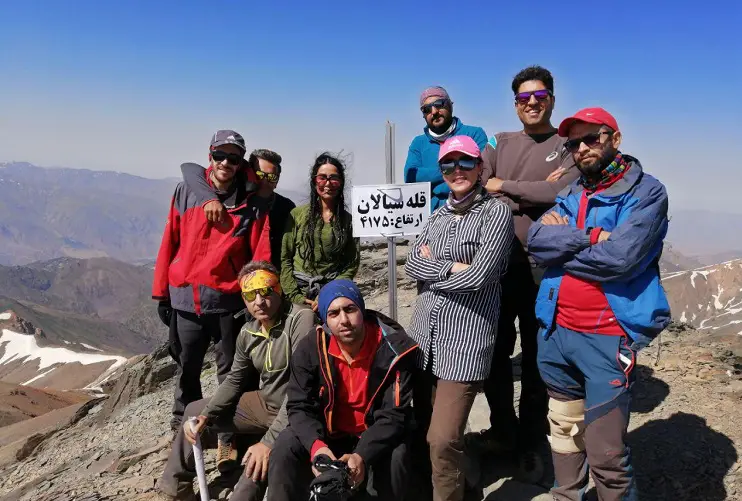
Summitting Sialan Mountain
Descending
Reaching the Jungle
Day 2:
Moving on to Daryasar Plain
Daryasar Plain
Esel Mahalleh
Departure from Haniz (Day1)
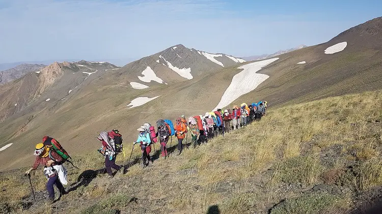
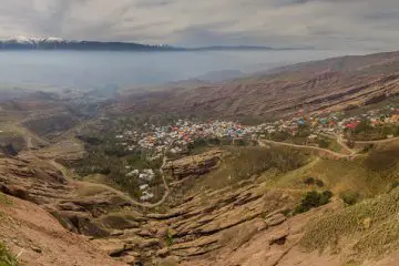
Haniz Village is the starting point for summitting Sialan Mountain from the southern face. Two mountain ranges come close to each other down the village and meet each other on Mount Siyalan. Our route will be the one on the ridges of the mountain range on the left (west). The route starts from behind the mosque on the northeast. You’ll pass cherry, walnut and apple orchards, cross a river and start following the beaten trail on the mountain before you. After leaving the village, the route becomes very steep. It takes about 5 hours of trekking from Haniz to the hut. Pine trees, mountain cypresses and Hollyhock flowers cover the area you’ll be trekking.
Reaching the Hut (Day 1)
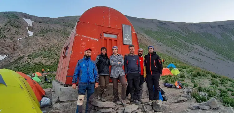
The altitude increases rapidly and the route is still steep. After 2 hours, you’ll reach the first spring. Fill your water bottles up and have a short break. Then continue further up on the beaten trail. On your way, you’ll get to a glacier with a river flowing from under it. Have a 90-degree turn to the right and continue on the beaten trail. After about 5 hours and trekking for about 9 km, you’ll get to the red metal hut (3200m) on Mount Sialan’s South-North Route. This hut is on the edge of the last ridge and next to a spring. From there, you can see the summit and enjoy the pleasant weather.
The Hut to the Summit (Day 1)
The hut is a suitable place for a short break. Continuing your way from the hut, you’ll pass the mountain pass. You’ll have to follow the beaten trail for about 5 kilometers to reach the summit. After the beaten trail, there are 2 glaciers. After passing the 2 glaciers, you’ll get to Sialan Mountain’s mountain pass, known as Zin Asbi (or Kandigan). There, you’ll be right on the west side of the summit. So, we’ll turn around the summit and ascend it from the east. The wind is extremely strong on the left (west) of Kandigan peak and the right (east) of Sialan peak.
Summiting Sialan Mountain (Day 1)
The mountain pass is at a 3848-meter altitude. It is the border between Qazvin and Mazandaran provinces. To reach the summit from here, there is no need to take your backpacks. So, take a short break, put your backpack in a safe place, and make your way toward the summit. The beaten trail is quite distinguishable up to the summit.
Descending (Day 1)
There are many glaciers and snow pits on your descent of Sialan Mountain’s South-North Route. So, you should be very careful and have an ice-axe and a pair of crampons to have a safe descent (crampons are an absolute must). After about 2 hours of descending a very steep route, you’ll get to the beginning of a traverse route and pass over a few other glaciers with absolute caution. The glaciers on this part are mostly on the southern face.
Reaching the Jungle (Day 1)
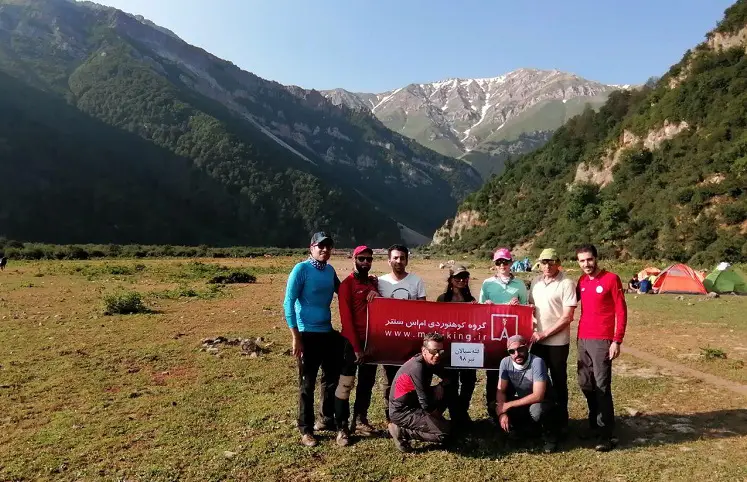
After the glaciers, you’ll reach a very clear spring. Continue on Mount Sialan’s South-North Route, until you reach a hill that overlooks Daryasar Plain. From there, the path gradually becomes forested. After decending Hezarpich (or Hezarcham) region, a beautiful and green plain with a winding trail, and the meadow, you’ll reach the jungle. You can camp in this region and continue your way the following day. To camp here, continue a little further until you get to the river. Set up you camp beside the river.
Moving on to Daryasar Plain (Day 2)
Early in the morning, start following the river toward Daryasar Plain. You can see the beautiful plain at the end of the strait.
Daryasar Plain (Day 2)
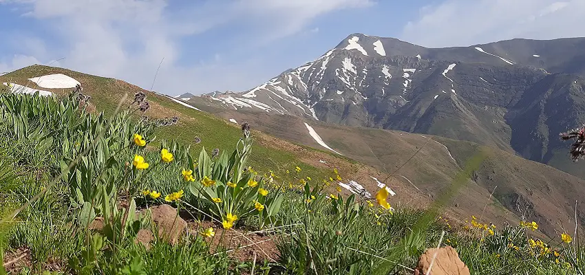
After passing a jungle covered with barberry, apple and wild plum trees, you’ll reach a flat land: a heaven covered with colorful flowers. Before reaching Esel Mahalleh, you’ll get to Daryasar Plain (1700-1900m), a region with a mixture of mountainous and temperate climates of the Caspian coastline. A green and beautiful plain that is covered with yellow flowers early in summer. You can find small summer cottages build by shepherds who seasonally graze their animals on Daryasar. So, you can try first-rate local milk and drinking yogurt. In some seasons, between Daryasar and Esel Mahalleh, you’ll find a large number of people picnicking.
Esel Mahalleh (Day 2)
After an hour of hiking in Daryasar Plain, you’ll get to Esel Mahalleh Village. The whole distance from Daryasar to Esel Mahalleh is a perfect place for camping. Esel Mahalleh is very different from Haniz village. It is behind the mountain and it has kept its lovely rural style as compared to more modern villa regions in the front of the mountain. From Esel Mahalleh to the asphalted road, it takes about 3 hours of hiking (less than 30 minutes with car). The asphalted road will lead you to Tonekabon (30 minutes).
Elevations on Sialan’s South-North Route:
Haniz Village: 2225m
Sialan hut: 3350m
The Base Camp: 3700m
Mountain Pass: 3800m
Yadbood Hut:1850m
Daryasar Plain: 1750m
Esel Mahalleh Village: 1220m
Like to go on an Adventure on Sialan Mountain?
Then hop on our 3-day Hike to Alamut and Summit Sialan Mountain tour or our 7-day Sialan and Damavand tour.




Comments